Defaultcountries-*.json
UN-style view
Use this view for maps organized around UN-recognized sovereign states.
- CrimeaUkraine
- KosovoSerbia
- Northern CyprusCyprus
- SomalilandSomalia
- BaikonurKazakhstan
- Western SaharaSeparate territory
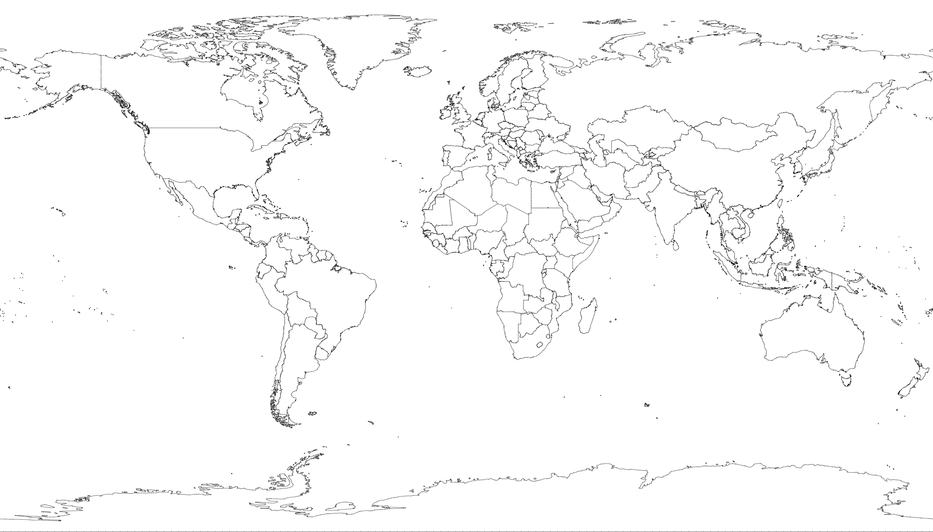
A convenient redistribution of Natural Earth’s vector data as quantized TopoJSON, maintained as a successor to the original world-atlas package.
Install
Choose a resolution, import the topology, and convert its country
collection with topojson-client.
npm install @cublya/world-atlas topojson-clientimport { feature } from "topojson-client";
import world from "@cublya/world-atlas/countries-50m.json"
with { type: "json" };
const countries = feature(world, world.objects.countries);Boundary views
The default files apply a documented UN-style sovereign-state policy. Alternate files preserve Natural Earth’s independent map units. “UN-style” describes this project’s boundary policy; these files are not official United Nations cartographic products.
Use this view for maps organized around UN-recognized sovereign states.
Use this view when Kosovo, Northern Cyprus, Somaliland, Western Sahara, and similar Natural Earth map units should remain separate.
import world from
  "@cublya/world-atlas/
countries-independent-50m.json"
  with { type: "json" };
Features expose properties.boundaryView. Merged
default features also expose policyMergedMapUnits.
Coverage
Natural Earth generalizes small-scale data by omitting microstates. Use 10m or 50m whenever complete UN country coverage matters.
| Resolution | UN members | Observer states | Best for |
|---|---|---|---|
| 10mLarge scale | 193 / 193 | 2 / 2 | Detailed maps and close views |
| 50mMedium scale | 193 / 193 | 2 / 2 | General-purpose world maps |
| 110mSmall scale | 165 / 193 | 1 / 2 | Compact global overviews |
Coverage is measured against 193 UN member states and the two non-member observer states: the Holy See and the State of Palestine.
File reference
Coordinates are spherical longitude and latitude in decimal degrees. Geometry is quantized but not projected.
A TopoJSON file containing the geometry collections
countries and land, derived from Natural
Earth’s 1:110m Admin 0 country boundaries.
A TopoJSON file containing the geometry collections
countries and land, derived from Natural
Earth’s 1:50m Admin 0 country boundaries.
A TopoJSON file containing the geometry collections
countries and land, derived from Natural
Earth’s 1:10m Admin 0 country boundaries.
The same object structure as the default country files, preserving Natural Earth’s independent map units when present in source data.
Details
TopoJSON files containing the land geometry collection,
derived from Natural Earth’s physical land boundaries.
Data model
Country files preserve the familiar objects.countries
and objects.land collections used by world-atlas 2.x.
country.id is the three-digit ISO 3166-1 numeric code
when one exists, such as "528" for the Netherlands.
Non-ISO map units in the independent view may omit it.
Every feature includes name and boundaryView.
ISO codes, sovereignty, classification, notes, and policy merge
metadata are included when available.
In country topologies, land is computed by merging country arcs, ensuring consistent shared boundaries. Standalone land files use Natural Earth physical vectors.
Source and license
Generated artifacts are derived from Natural Earth 5.1.2. Natural Earth places its raster and vector map data in the public domain: commercial use, modification, and redistribution are permitted without permission or required attribution.
The build code is ISC-licensed. Source URLs, archive checksums,
quantization, boundary views, and output names are recorded in
source.json.
Rebuilding
The build downloads pinned Natural Earth archives, verifies their SHA-256 checksums, and regenerates every committed artifact.
git clone https://github.com/cublya/world-atlas.git
cd world-atlas
npm ci
npm run build
npm run validate